Only Two in the Photograph
After the plane left Auckland, I took out my phone.
We had always taken a photograph on the plane when we travelled as a family.
When the children were small, we lifted them into the frame. Later, when they grew taller, it was Katherine and I who had to lean towards them. Four heads crowded onto a small screen. Someone blinked. Someone lost half a face. We passed the phone around, complained, and took another.
This time I raised the phone.
Katherine leaned towards me.
Click.
The screen lit up.
There were only two people in the photograph.
Both children had left home for university.
Outside the window there was nothing but cloud.
Auckland had disappeared.
The plane flew south.
A Low Hill
We reached Nelson early.
We were not due in Mārahau until evening, so we drove first to Botanical Hill.
From below, it did not look much of a hill.
Trees. A track disappearing into them.
I looked up and decided it would not take long.
I do this rather often: judge a hill before I have walked it.
“Let’s go and see the centre of New Zealand.”
At the top was a place called the Centre of New Zealand.
Centre: centre. New Zealand: New Zealand.
The words seemed straightforward enough.
The track was less so.
It did not climb directly. It crossed the slope, turned back on itself, crossed again, then turned once more. Left, right, left again. Each time I thought we had nearly gained the top, another stretch of hill appeared above us.
A modest height, walked several times over.
At first Katherine and I climbed side by side.
Then I drifted ahead.
At the next bend I turned around.
She was still on the section below.
She came up slowly and stopped, both hands on her knees, her shoulders moving with each breath.
After a while she straightened.
“Harder than it looks.”
She pushed her hat back.
The trees were thick overhead. Sunlight fell through the leaves in small, broken patches.
When we started again, I walked more slowly.
Higher up, the trees began to thin.
Then, after the last few switchbacks, the sky opened.
There were perhaps a dozen people at the summit.
Some were taking photographs. Others held up their phones and spoke to someone far away. The camera faced them first; then it turned, and Nelson, the harbour and the sea entered the screen.
On the other side, I imagined, were their families.
When the crowd thinned, Katherine crouched beside the marker for the Centre of New Zealand and began to read.
I bent down beside her.
A few lines were enough to prove me wrong.
This was not the geographical centre of the country. In the nineteenth century, the hill had served as an important survey point for Nelson.
This Centre was not the centre I had imagined.
It reminded me of something from more than thirty years ago.
My English was poor then. Once, after assembling a few familiar words and deciding I understood them, I said something deeply embarrassing to a Kiwi teacher. Years later I wrote about it in an essay called The Kiwi Teacher I Could Never Look Straight At Again.
Thirty years had passed. My English had apparently improved.
The habit had not.
Perhaps English was never entirely the problem.
Katherine was still crouched beside the marker.
The sun fell directly on her head.
Among the black hair were a few strands of white.
She was eighteen when I first met her.
Back then she had thick, curly hair that fell to her shoulders.
She finished reading, pressed one hand to her knee and rose slowly.
A few steps farther on, the trees ended.
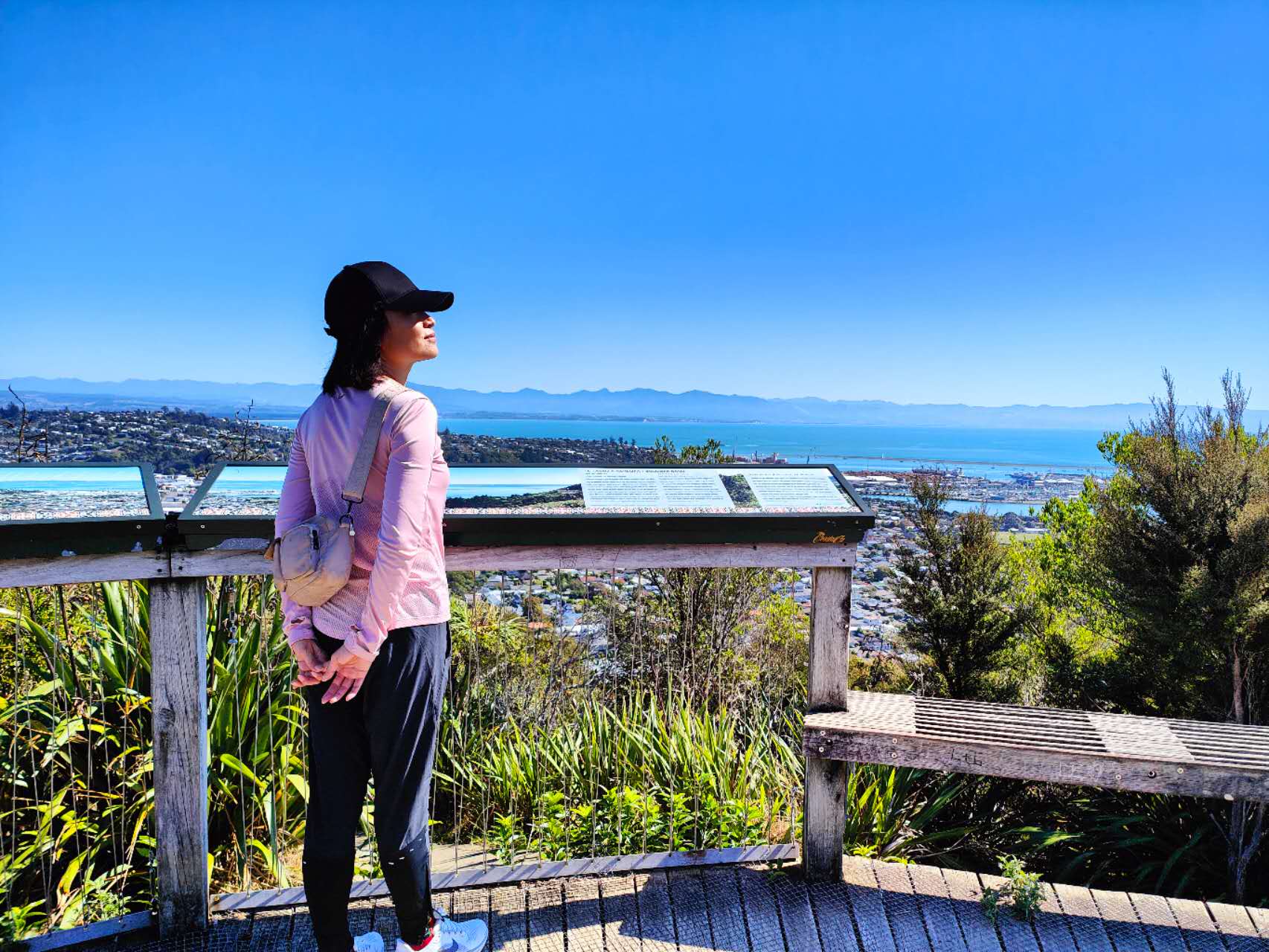
Nelson lay below us.
Roofs were scattered among the green, then the harbour, then the long curve of the coast.
Beyond it was Tasman Bay.
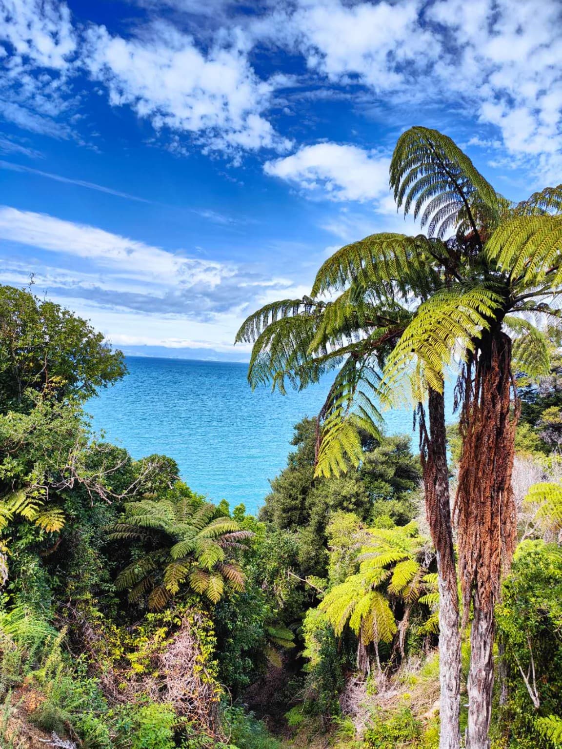
The water near shore was a bright blue-green. Farther out it deepened. Across the bay, the hills had faded to a thin grey-blue line between sea and sky.
Wind came up the slope and lifted Katherine’s hat.
She held it down with one hand.
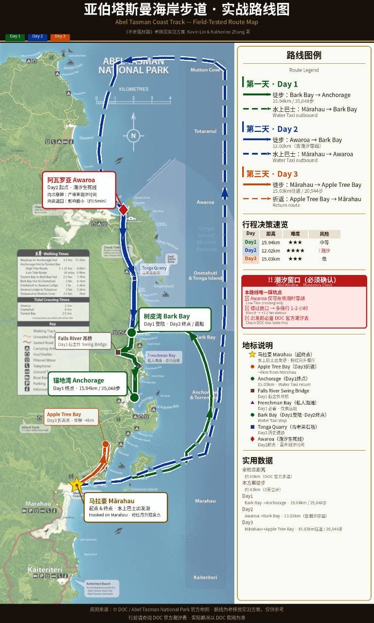
The next day we would enter Abel Tasman National Park from somewhere along that coast.
The walk had not begun.
The sea had arrived first.
I Didn’t Know What She Was Thinking
We came down from Botanical Hill intending to go to South Street.
Then, turning into the centre of Nelson, I saw the cathedral above us.
Its pale tower rose behind the trees and roofs. A long flight of stone steps climbed from Trafalgar Street towards it.
I slowed the car.
“Let’s look at this first.”
We parked and began to climb.
The steps were broad, broken by landings. The cathedral remained above us, appearing and disappearing behind the trees.
On one of the landings we stopped at a plaque.
Thomas Cawthron.
In 1913, it said, he had given these steps to Nelson.
The granite came from a quarry at Tonga Bay.
I knew that name.
Tonga Bay was in the country we were heading for the next day.
I looked down at the pale stone under my shoes.
We had not yet entered Abel Tasman, but some of it was already under our feet.
Higher up stood the cathedral.
A notice by the entrance said the present building had been begun in 1925 and reached its final form only in 1967.
Katherine was already at the door.
She looked inside and went in.
The afternoon outside was bright. From the threshold, the interior was almost black.
Then the rows of wooden pews began to appear.
I stepped across the doorway.
The street receded.
Katherine walked down the centre aisle and sat.
I reached her row, paused, then went several rows farther back.
From there I could see only her back.
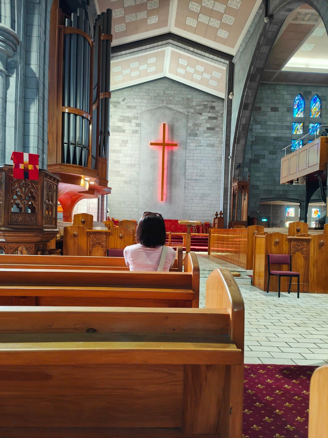
Her head was bowed.
The roof rose high above us. Daylight came through coloured glass and reached the walls and pews as muted patches.
Katherine remained there.
I did not know what she was thinking.
After a while she lifted her head, picked up her hat and stood.
When the door opened, daylight returned at once.
She narrowed her eyes, put on her hat and stepped down onto the first stair.
The street came back with her.
Still Lived In
South Street was close by.
The first thing that surprised me was its size.
It was tiny.
The street was narrow. Most of the houses were single-storey and sat close to the road. From the middle of the street you could see curtains behind windows, pots on verandahs, grain in the timber weatherboards.
The houses stood close to one another as well.
No large front lawns. No high walls.
The street had kept the scale of another century.
A sign said cottages had begun appearing here in the 1860s. Many of the early residents were tradesmen and their families.
Katherine walked slowly along the edge of the road.
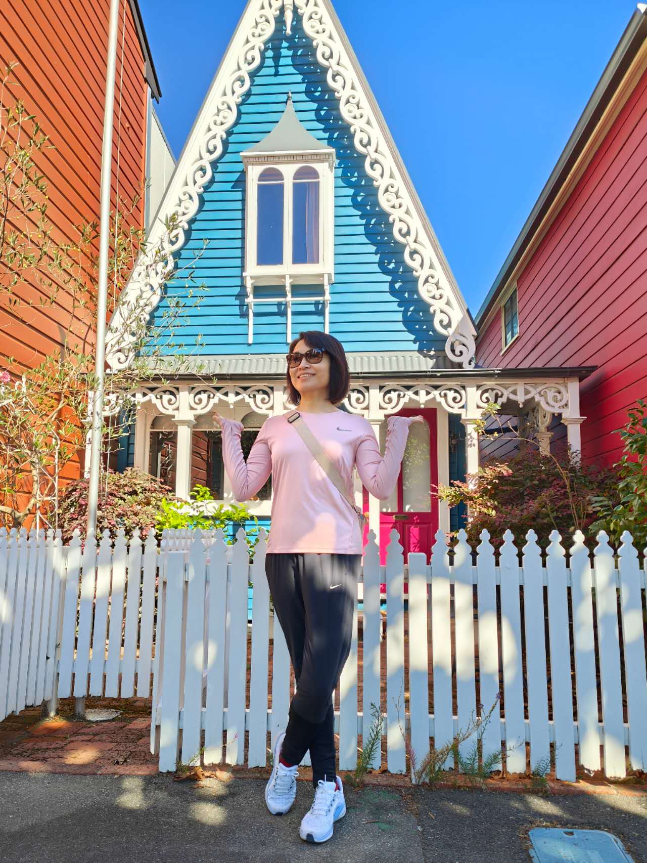
One pale green cottage stood almost beside her. White trim followed the gable down towards a red front door.
She stopped and took two steps back.
“That one’s nice.”
I took out my phone.
She stood by the red door.
Through the camera I noticed curtains in the window and flowerpots beside the entrance.
Farther along it was the same.
A curtain half drawn. A car parked outside. Plants rising past a sill.
These were not emptied heritage houses.
Behind nineteenth-century timber walls there were still kitchens, bedrooms and dinner.
At one point the cottages had nearly given way to redevelopment.
They survived.
The doors were still shut by the people who lived behind them.
The curtains were still theirs to draw.
The stone path was so narrow that two people walking side by side nearly filled it.
A century and a half ago, people must have come through these same small doors and walked down a street of much the same width.
There would simply have been no cars waiting outside.
For Us
From South Street we walked back towards the centre.
The cathedral was still above us.
At the foot of the steps stood an old black-and-white building with tall windows and tables outside.
We had only meant to have one beer.
The place was called The Vic.
At the bar, things became complicated.
A line of taps ran in front of us.
IPA. Pale Ale. Lager. Several names I had never heard before.
Katherine and I read them from left to right, then from right to left.
The bartender understood.
“You can taste them first. Any of them.”
I looked at the row again.
“Any of them?”
With my tolerance, if I tried them all I would probably finish the afternoon before choosing a beer.
So we asked him to pick something local and not too strong.
Suitable for two young people in their fifties.
In 1889 the building had been an insurance office. Later it housed lawyers, then council offices.
By the time we sat down, it had become a pub.
Two glasses arrived.
Condensation formed almost immediately.
Katherine lifted hers towards me.
“Cheers for you.”
The rims touched.
“For us.”

A Hammock in the City
By the time we left The Vic, the beer had begun to do its work.
The sun was still high, but we were no longer in a hurry.
On the upper part of Trafalgar Street the cars disappeared.
Tables and planters occupied what had once been roadway. People drank coffee. Others simply sat in the sun.
There were hammocks.
Katherine was already walking towards one.
That saved a discussion.
The fabric dropped as soon as I put my weight into it. I got one leg in, then the other, and spent a while arranging myself into a position that did not seem likely to deposit me on the pavement.
The hammock beside mine had settled much more gracefully.
Katherine was already lying still.
She pulled the brim of her hat down. One leg remained outside.
Above us were trees.
Light moved through the leaves, crossing our faces and clothes as the wind shifted.
The street remained close: footsteps, a cup set down on a table, the occasional bicycle passing slowly.
I learned later that this stretch of Trafalgar Street had been remade precisely to make people linger.
Cars went out. Tables, planters and hammocks came in.
It worked on us.
A little earlier we had been calculating how much afternoon remained.
Now neither of us looked at a watch.
Katherine’s eyes were closed beneath her hat.
I pulled mine lower as well.
Nelson became a small patch of green moving above the brim.
A Name from Home
The sun had shifted by the time we left the hammocks.
Queen’s Gardens was nearby.
Water came first.
The path did not cross the garden in a straight line. It followed the edge of a pond, curving with it. Trees leaned towards the water; some branches almost touched the surface.
The pond was older than the garden.
It had once been part of an old bend of the Maitai River. In the late nineteenth century, paths, trees and bridges were arranged around it.
A white wooden bridge crossed the water.
It was narrow and slightly arched.
There was another bridge beneath it.
A few ducks came out of the shadow.
When Katherine approached the bank, they moved towards her, then turned away and swam towards the bridge.
Ripples spread behind them.
The bridge broke apart.
So did the trees.
When the water settled, the bridge slowly returned.
We followed the pond.
The path bent with the water until, beyond a bank of green, a white wall appeared.
Black tiles ran along its top. The corners of the roof lifted slightly. The openings in the wall were patterned rather than glazed; through them you could still see trees on the other side.
Beyond the wall were a pavilion, stones and another piece of water.
We had crossed from a nineteenth-century New Zealand garden into something else.
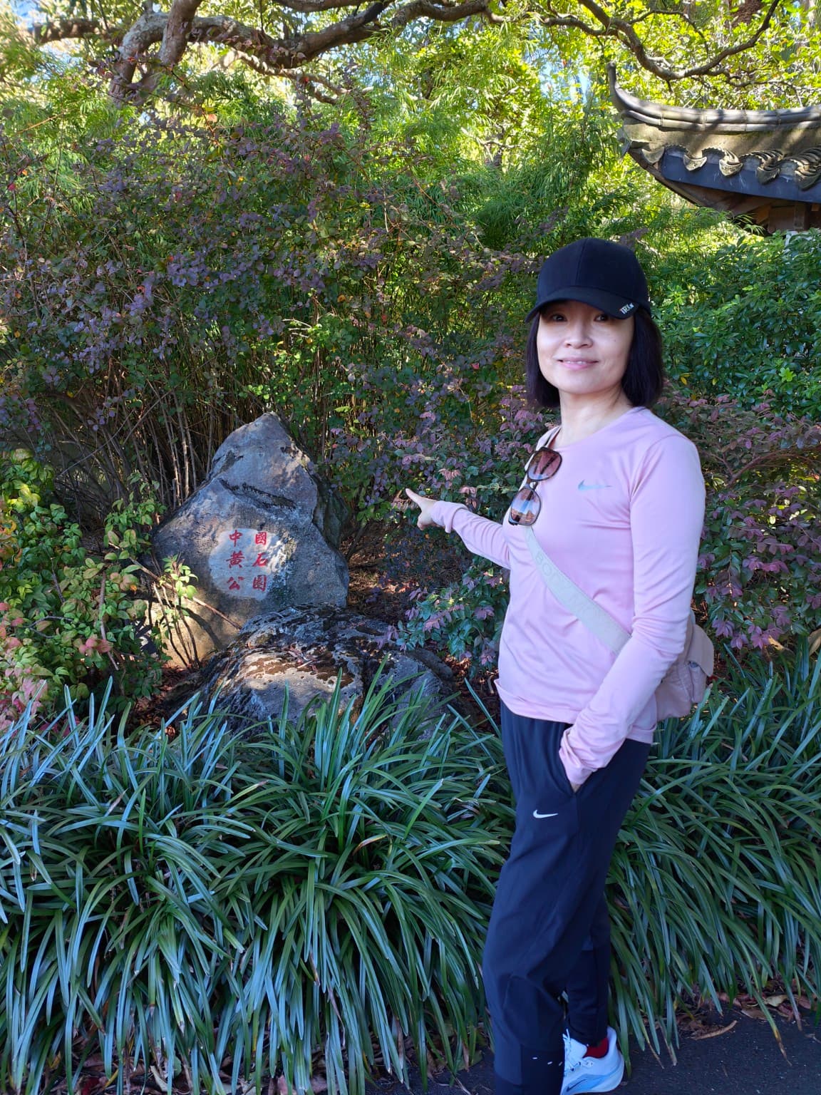
This was the Huangshi Chinese Garden.
It was built here in 2007.
Some of the roof tiles and architectural elements came from China. The stone came from the South Island.
The two had been placed in one garden.
Huangshi is in Hubei.
Hubei is where Katherine comes from.
She had walked ahead.
Beside the trees was a low stone.
She passed it, then stepped back.
Four red Chinese characters had been cut into its face:
中国黄石公园
Huangshi Park, China.
Katherine stood looking at them.
After a while she moved beside the stone and turned towards me.
I raised the phone.
In the frame she was standing in the South Island of New Zealand.
Behind her were white walls, black tiles and Chinese characters.
I pressed the button.
Click.
The screen lit up.
This time there was only one person in the photograph.
Across the pond, the ducks had already moved away.
Wind passed over the water.
The reflection of the white bridge trembled for a while, then became still.
South Again
We left Queen’s Gardens and drove towards Mārahau.
The houses thinned.
Every now and then, Tasman Bay appeared through the roadside—the same water we had seen from Botanical Hill that afternoon.
Ahead was Abel Tasman.
There was still daylight left.